Downloads
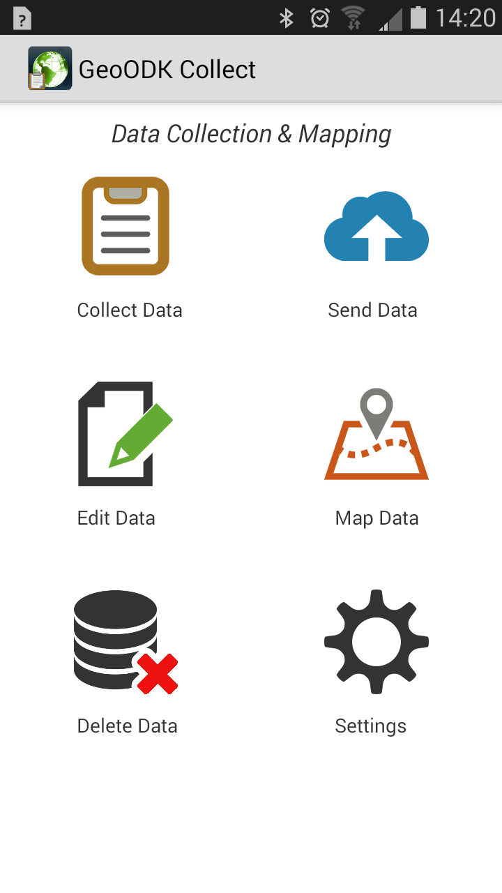
GeoODK Collect (Beta)
This mobile application allow you to collect survey based information along with collecting spatial infomation. The application has offline mapping capibilities, the ability to add local map tiles as offline layers. The application can collect point, poylgon, and polyline features.
Click to: View & Download Application

 Git Hub »


Mobile Data Converter
This application helps with the process of downloading the images and converting collected data to a spatial formats and preparing the dataset for a GIS system
Click to: View & how application works
- Create ESRI Shape File
- Create Google Earth KML/KMZ
- Download you images
- Process muiltple forms at once
 Download Now
View Source Code
Download Now
View Source Code